Project
Community
News
My App
My maps
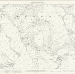
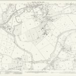
Worcestershire XIX.7 (includes: Eastham; Rochford; Tenbury) - 25 Inch Map
1902
Ordnance Survey
1:3k
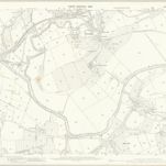
Worcestershire XIX.7 (includes: Eastham; Rochford; Tenbury) - 25 Inch Map
1883
Ordnance Survey
1:3k
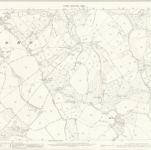
Worcestershire XIX.6 (includes: Rochford; Tenbury) - 25 Inch Map
1902
Ordnance Survey
1:3k
Worcestershire XIX.6 (includes: Rochford; Tenbury) - 25 Inch Map
1883
Ordnance Survey
1:3k
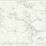
Worcestershire XIX.NE - OS Six-Inch Map
1902
Ordnance Survey
1:11k
Worcestershire XIX.NE - OS Six-Inch Map
1883
Ordnance Survey
1:11k
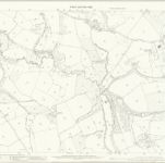
Worcestershire XIX.3 (includes: Eastham; Kington on Teme; Rochford) - 25 Inch Map
1902
Ordnance Survey
1:3k
Worcestershire XIX.3 (includes: Eastham; Kington on Teme; Rochford) - 25 Inch Map
1883
Ordnance Survey
1:3k
Herefordshire IX.SW - OS Six-Inch Map
1902
Ordnance Survey
1:11k
Herefordshire IX.SW - OS Six-Inch Map
1884
Ordnance Survey
1:11k
History
Old maps of Rochford, Worcestershire
Discover the past of Rochford, Worcestershire on historical maps
Old maps of Rochford, Worcestershire
Discover the past of Rochford, Worcestershire on historical maps
Explore Maps
Discover History
Parent places
Worcestershire
Related places