Maps of Malá Franková
 1870|Kořistka, Karel František Edvard1:100 000
 1855|Kummersberg, Carl von1:115 000
 1873|Militärgeographisches Institut1:144 000
 1830|Sydow, A. von1:200 000
 1827|Bojtár, St.1:190 000
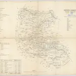 18401:280 000
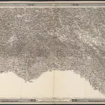 1875|herausgegeben vom k. k. militär-geographischen Institute im Jahre 1868
Old maps of Malá Franková
Discover the past of Malá Franková on historical maps
Old maps of Malá Franková
Discover the past of Malá Franková on historical maps
Looking for a Google Maps API Alternative?