Maps of Eckington, Derbyshire
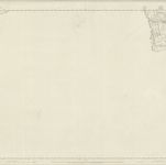 1851|Ordnance Survey1:10 560
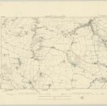 1875|Ordnance Survey1:10 560
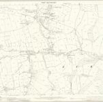 1875|Ordnance Survey1:2 500
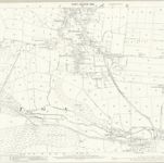 1875|Ordnance Survey1:2 500
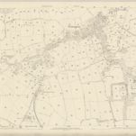 1875|Ordnance Survey1:2 500
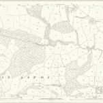 1875|Ordnance Survey1:2 500
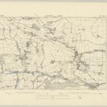 1875|Ordnance Survey1:10 560
Old maps of Eckington, Derbyshire
Discover the past of Eckington, Derbyshire on historical maps
Old maps of Eckington, Derbyshire
Discover the past of Eckington, Derbyshire on historical maps
Looking for a Google Maps API Alternative?